Lincolnshire County Council will discuss the route next month but the recommended option remains the one that’ll mean people will lose their homes.
The report will be discussed by the county council’s Highways and Transport Scrutiny Committee on Monday, December 9.
Andy Gutherson, Executive Director of Place, said: “Following the feedback we’ve received over the past month, officers have reviewed and refined the route options analysis for the Spalding Western Relief Road’s middle section.
“We now have an updated version of the report ready for the council’s Highways and Transport Scrutiny Committee to review next month, which includes updated costings for each option.
“Although they are still estimates at this stage, these costs have been further refined from the figures included in last month’s report.”
Despite updates to the document, the recommended route for the relief road’s central section remains through the centre of the ‘safeguarded corridor’ within the South East Lincolnshire Local Plan.
Following the updated report being discussed by the scrutiny committee, the county council’s Executive will be asked to make a decision on the recommended route at their meeting on Tuesday, January 7.
Mr Gutherson said: “We have shared the updated version of the report with all residents within the safeguarded corridor and will continue to keep people updated as matters progress over the next month.”
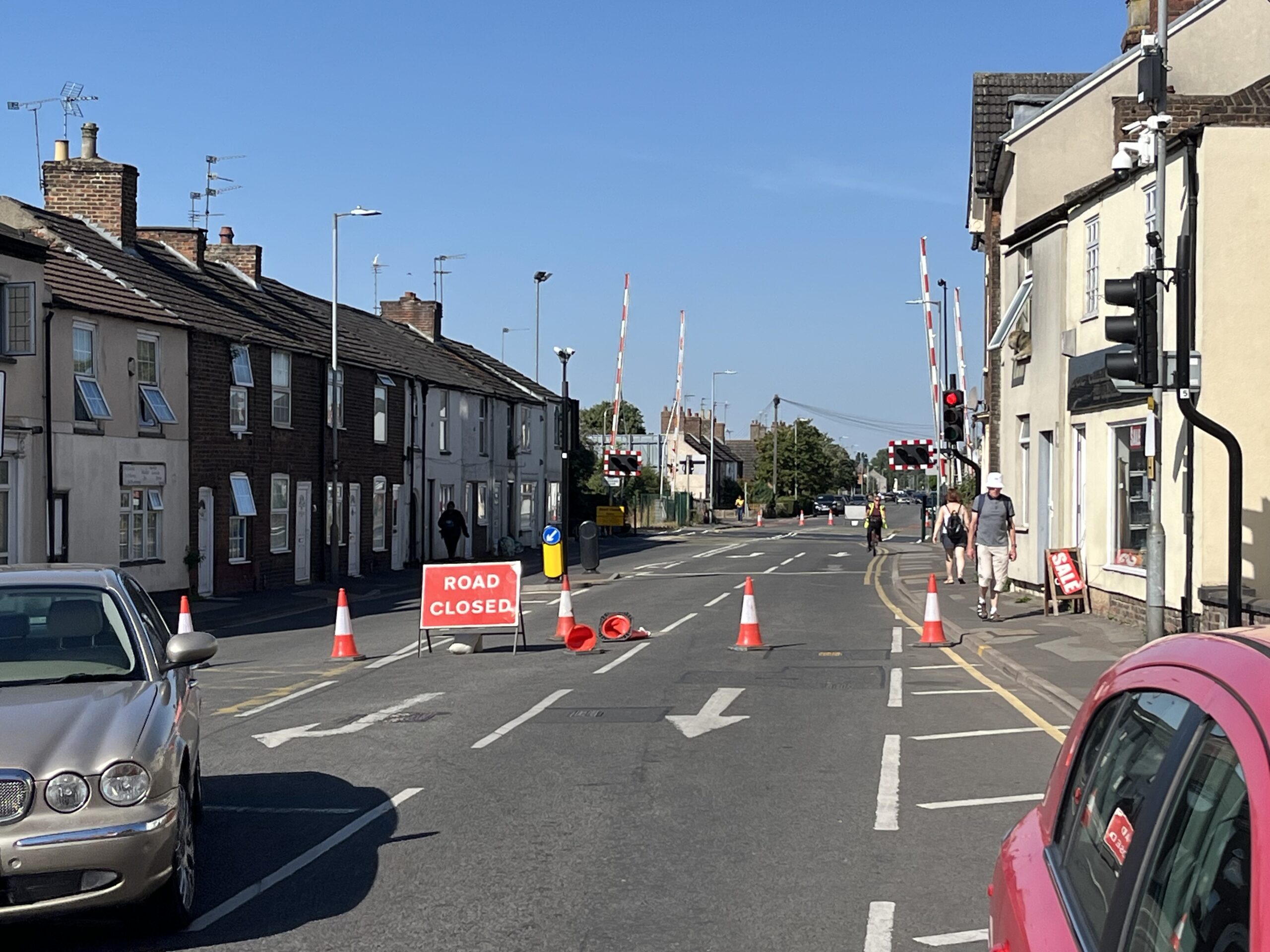
The Spalding Western Relief Road will provide a new route around the west side of the town, linking Spalding Common in the south to Spalding Road/Pinchbeck Road in the north.
The council claims the relief road “will help reduce congestion and journey times in and around town as the area’s population, traffic levels and amount of rail freight passing through continues to grow”.
For more information about the Spalding Western Relief Road, visit www.lincolnshire.gov.uk/swrr